Santa Teresa and Malpaís share one coast road. It runs south to north along the beach, and the crossroads at Playa Carmen, where the road from Cóbano arrives, splits it in two: turn left for Malpaís and the Cabo Blanco reserve, or right for Santa Teresa, Playa Hermosa and Manzanillo. Here's what's where, from south to north.
What's where, from Malpaís to Manzanillo?
| Area | From the Playa Carmen crossroads | What's there |
|---|---|---|
| Cabo Blanco reserve | About 1 hour by road (the entrance is south of Cabuya, via Cóbano and Montezuma) | Costa Rica's first protected area, open Wednesday to Sunday, 8 a.m. to 4 p.m. There's no public entrance from the Malpaís side. |
| Playa Los Suecos | South of Malpaís | A quiet beach just north of the Cabo Blanco reserve. |
| Malpaís | About 2 miles (3.6 km) south, 10 minutes | The quiet fishing village, rocky shore and tide pools. EBAIS health post, Super Chicho. |
| Playa Carmen | At the crossroads | Banks and ATMs (Banco Nacional, BCR, BAC), Megasuper, Farmacia Amiga, car rental desks. |
| Santa Teresa | Runs north from the crossroads | Most of the restaurants, shops and hotels. A BAC with an ATM near Super Costa, Costa Market and other markets, the Tourist Police station and an EBAIS health post. |
| Playa Hermosa | About 4 miles (6.7 km) north, 20 minutes on the dirt road | A long, quieter beach with easy beach-break waves. Super Hermosa. |
| Manzanillo | About 20 minutes north of Santa Teresa | A quiet fishing village with a reef-protected lagoon at low tide. |
| Cóbano | About 8 miles (13 km) inland, 25 to 30 minutes | Gas, Banco Nacional and Banco Popular ATMs, the public clinic, Palí and Megasuper, and Cóbano airport (ACO) just outside town. |
| Montezuma | About 9 miles (14 km), 30 to 40 minutes via Cóbano | The village, the waterfall and the Gulf-side beaches. |
Santa Teresa, Playa Hermosa and Manzanillo

The northern half of the coast is where you'll find most of the hotels, restaurants and shops. The further north you go, past Santa Teresa toward Playa Hermosa and Manzanillo, the quieter it gets. The map was drawn in 2011 and a few hotels on it have since closed. These are still open: Horizon Yoga Hotel, Casa Marbella, Tropico Latino, Casas de Soleil, UMA Beachfront (Playa Cielo), Zula Inn, Fuego Lodge, Funky Monkey Lodge, Hotel Nautilus, Griss Lodge, Esencia Hotel, Manala Hotel and Villas Santa Teresa.
Malpaís, Playa Carmen and the Cabo Blanco reserve

The southern half is quieter, with the fishing village of Malpaís, tide pools and the forest of the Cabo Blanco reserve at the tip of the peninsula. The reserve's entrance is on the far side, near Cabuya, so you reach it via Cóbano and Montezuma rather than along the coast. Hotels on this map that are still open include Star Mountain Jungle Lodge and Vista de Olas. For more, see Malpaís and Santa Teresa hotels.
Where are the ATMs and banks?
Most are at the Playa Carmen crossroads: a Banco Nacional branch with an ATM, a BCR ATM and a BAC branch. There's a second BAC with an ATM on the main road in Santa Teresa, near Super Costa. In Cóbano, Banco Nacional's outside ATM runs from 6 a.m. to 10 p.m., and Banco Popular has an ATM by the municipal building. Cards are widely accepted now, but beach ATMs get long lines in high season and occasionally run out of cash.
Insider tip: Arrive with some colones or dollars in your pocket, and treat the Cóbano ATMs as your backup. You'll pass them on the way in anyway.
Where's the nearest doctor, pharmacy or hospital?
- Pharmacy: Farmacia Amiga at the Playa Carmen crossroads, with another branch in Cóbano.
- Doctors: private general doctors and a dentist practice in Santa Teresa, and most visitors use them. The EBAIS health posts in Santa Teresa and Malpaís are public primary care, open on weekdays, not emergency rooms.
- Clinic: the public CCSS clinic in Cóbano, next to the municipal building, about 30 minutes from Santa Teresa.
- Hospital: Hospital Monseñor Sanabria in Puntarenas, 3 to 4 hours by road and ferry. Serious cases may need an air evacuation to San José, and night flights from Cóbano are currently restricted.
- Police: a Tourist Police station opened in Santa Teresa in 2025, covering Santa Teresa, Malpaís and Manzanillo.
Where do you buy groceries and gas?
Megasuper sits at the Playa Carmen crossroads. Along the Santa Teresa strip you'll find Super Costa, Costa Market (open daily, 7 a.m. to 10 p.m.), Super Rony and Súper Muralla among others; Playa Hermosa has Super Hermosa, and Malpaís has Super Chicho. Cóbano's Palí and Megasuper are cheaper, which makes them a good first stop on the way in. For gas, it's Cóbano too: Servicentro Cóbano and Gasolinera Jimal, about 25 to 30 minutes from Playa Carmen. There's no gas station in Santa Teresa or Malpaís.
How do you get around town?
On foot, by bike or by ATV, mostly. The coast road is gravel and dirt, dusty in the dry season and muddy in the rainy one, and it's busy with cars, ATVs and people walking. It's also poorly lit, so take a taxi after dark. Alamo, Enterprise and Budget have desks at the Playa Carmen crossroads and Sixt is in Santa Teresa if you want a car for day trips. To get here in the first place, see getting to Santa Teresa or the Santa Teresa driving map.
Door to door to Santa Teresa, ferry and all
- Your driver meets you at arrivals, or at your hotel, with a sign bearing your name.
- Safe, friendly, English-speaking drivers with the credentials for tourist transport, arranged by Anywhere Costa Rica (IATA and ASTA accredited).
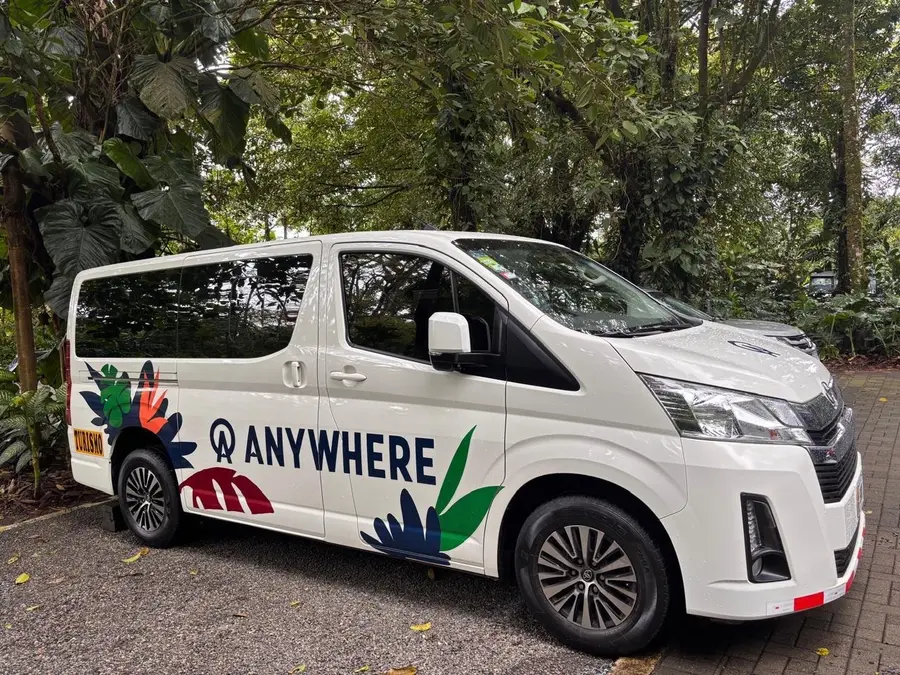
- Modern, spacious, air-conditioned vans.
- Up to an hour of stops is included: groceries, cold drinks, photos or lunch on the way.
- 24/7 in-country support by phone, text and WhatsApp.
Frequently asked questions
Are Malpaís and Santa Teresa the same place?
They're neighbors on the same coast road. The crossroads at Playa Carmen splits them: Malpaís is the quieter fishing village about 2 miles (3 km) south, and Santa Teresa is the livelier strip running north toward Playa Hermosa.
Is there an ATM in Santa Teresa?
Yes. There are Banco Nacional, BCR and BAC ATMs at the Playa Carmen crossroads, and a BAC with an ATM on the main road in Santa Teresa. In high season they get long lines and occasionally run out of cash, so bring some with you and use the ATMs in Cóbano as a backup.
Where is the nearest hospital to Santa Teresa?
The nearest hospital is in Puntarenas, across the gulf: 3 to 4 hours by road and ferry. For everyday problems there are private doctors in Santa Teresa, local EBAIS health posts on weekdays, a pharmacy at the Playa Carmen crossroads and the public clinic in Cóbano, about 30 minutes away. Serious cases may need an air evacuation to San José. In an emergency, call 911.
Do we need a car in Santa Teresa?
Not to get around town. Walking, bikes and ATVs are how most people get about, and taxis are the better choice after dark, when the dirt road is poorly lit. A car helps for day trips to Montezuma, Cabo Blanco or the Gulf side.
Where do we get gas?
In Cóbano, about 25 to 30 minutes inland from Playa Carmen: Servicentro Cóbano and Gasolinera Jimal. There's no gas station in Santa Teresa or Malpaís.
Where are the supermarkets?
Megasuper is at the Playa Carmen crossroads; Super Costa, Costa Market and several smaller markets are along the Santa Teresa strip; Super Hermosa is in Playa Hermosa; and Super Chicho is in Malpaís. Cóbano has Palí and Megasuper, with lower prices than at the beach.