At a glance
- From Santa Teresa
- Dry season, 4x4 on the coast road: about 1 hour 20. Otherwise about 3 to 3½ hours via Paquera and Jicaral, with no rivers to ford
- From Liberia airport (LIR)
- About 3 hours
- Swimming
- Calm in the Punta Coyote cove at the south end. The open beach has rips and rocks, and the river estuary has crocodiles
- Best for
- Self-sufficient families on a picnic or camping day; birders; couples who want an empty beach
- Facilities
- A picnic and camping area at Punta Coyote; two supermarkets and a few restaurants in San Francisco de Coyote, 5 km inland. No gas until Sámara
- Getting there
- Coast road via Manzanillo and the Río Bongo, dry season only. The estuary splits the beach: drive 5 km round through the village to reach the other half. See the Coyote coast
- Surf
- Reasonably consistent beach and reef breaks for experienced surfers
What is Playa Coyote like?
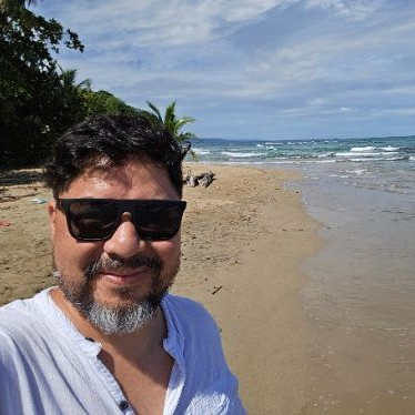
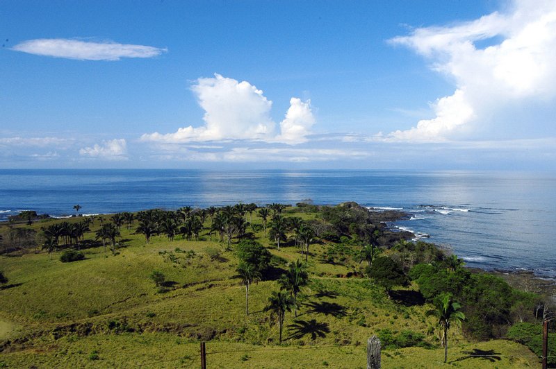
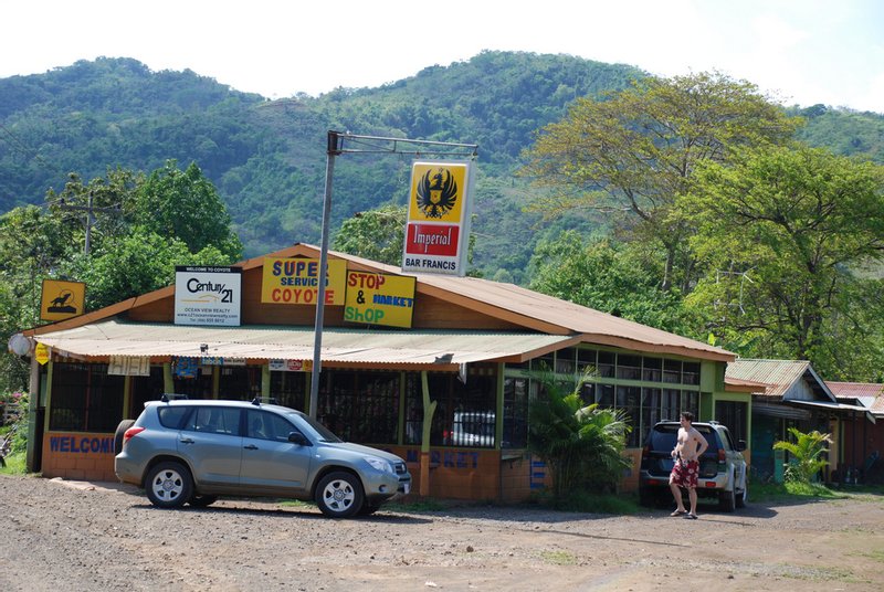
Wide, flat and mostly empty. The Río Jabillo and its mangroves cut the beach in two, and the estuary is full of egrets and herons (and, now and then, crocodiles). At the southern end, Punta Coyote curves round into a protected bay with a picnic and camping area; at low tide the sand there is about 200 meters wide. The village of San Francisco de Coyote sits 5 km inland, with two supermarkets, a few restaurants and a daily bus.
Can you swim at Playa Coyote?
Yes, in the Punta Coyote cove, which is sheltered and calm enough for children. The open beach north of it has rip currents and rocks, and the estuary is no place to swim. There are no lifeguards.
How do you get there from Santa Teresa?
In the dry season (about January to April), take the coast road north through Manzanillo and ford the Río Bongo and the smaller rivers beyond it in a high-clearance 4x4: about 1 hour 20. The rest of the year, the Bongo can't be forded, and you go round via Paquera and Jicaral, about 3 to 3½ hours with no rivers to ford. Rental insurance usually excludes river damage, and road guides report past crimes against drivers at the crossings near Santa Teresa, so go in daylight, ideally with a local driver.
Insider tip: Fill up in Cóbano before you leave. There's no gas station in Santa Teresa and none on the coast until Sámara.
When is the best time to go?
January to April, when the rivers are low enough to ford and the dirt is dry. In the rainy season, especially September and October, the coast road can be impassable.
What's nearby?
- Playa San Miguel, about 7 km north of the village: miles of empty grey sand.
- Punta Islita, farther north: a horseshoe bay and resort.
- Playa Manzanillo, back toward Santa Teresa.
Where should you stay near Playa Coyote?
Places to stay are few. Self-sufficient families and groups can rent a house near Coyote or San Miguel; couples looking for comfort should head for Hotel Punta Islita, up the coast. Most visitors stay in Santa Teresa and come on a dry-season day out; see where to stay in Santa Teresa.
Nearby beaches
Frequently asked questions
Can you drive from Santa Teresa to Playa Coyote?
Yes, in the dry season (about January to April) in a high-clearance 4x4, fording the Río Bongo and smaller rivers: about 1 hour 20. The rest of the year, go round via Paquera and Jicaral, about 3 to 3½ hours.
Is Playa Coyote safe for swimming?
In the Punta Coyote cove at the south end, yes: it's sheltered and calm. The open beach has rip currents and rocks, and the Río Jabillo estuary has crocodiles. There are no lifeguards.
Are there shops or restaurants at Playa Coyote?
In the village of San Francisco de Coyote, 5 km inland: two supermarkets and a few restaurants. There's a picnic and camping area at Punta Coyote. Bring water and fill up with gas in Cóbano or Sámara.
Is Playa Coyote in Guanacaste?
Yes. It's just north of the Río Bongo, which divides Guanacaste from Puntarenas province. Santa Teresa, to the south, is in Puntarenas.
Is Playa Coyote a good day trip from Santa Teresa?
In the dry season, for adventurous travelers with a 4x4 or a local driver: leave early, picnic in the Punta Coyote cove, and be back before dark. From May to December, it's too far for a day.